
Ilha Grande hiking trails: the main ones, from T1 to T16
On an island with no cars, hiking is not an optional activity: it is the transport system. Everything on Ilha Grande outside Vila do Abraão is reached on foot or by boat, and the state park organized that into a system of 16 numbered trails, T1 to T16, which added together circle the entire island. We write from this coastline: our group’s schooner works the Ilha Grande bay all year, and a good share of the crew and the guests we host have worn out boots on these paths.
This guide lays out the island’s mental map, the trails worth your time, the difficulty without makeup and the safety rules the rescue teams wish everyone would read. It rounds out the overview of things to do in Ilha Grande and the guide to Vila do Abraão, which is kilometer zero for almost everything here.
The island’s mental map in one paragraph
Picture the island as a fat triangle. In the northeast corner, facing the mainland, sits Vila do Abraão, the base. The interior is mountain covered in Atlantic Forest, with the 982 meter Pico do Papagaio almost at the center. The east coast holds Lopes Mendes; the south coast, Dois Rios, Caxadaço and Parnaioca, the wild ones; the far southwest, Aventureiro; and the northwest coast, turned toward the mainland, the calm coves of Araçatiba and the lagoons. Every trail is some combination of leaving Abraão, crossing mountain and coming down to one of those coasts.
The trails that matter, one by one
T1, the Abraão circuit
The entry point: a flat, signposted path that leaves the church square and strings together Preta beach (20 minutes from the village), the ruins of the Lazareto, a quarantine hospital from 1886 to 1913, the stone aqueduct of 1893 and the freshwater swimming hole. You can do it in decent flip-flops, with kids, and even in drizzle: it is the backbone of our rainy day plan. Go early and the Lazareto is all yours.
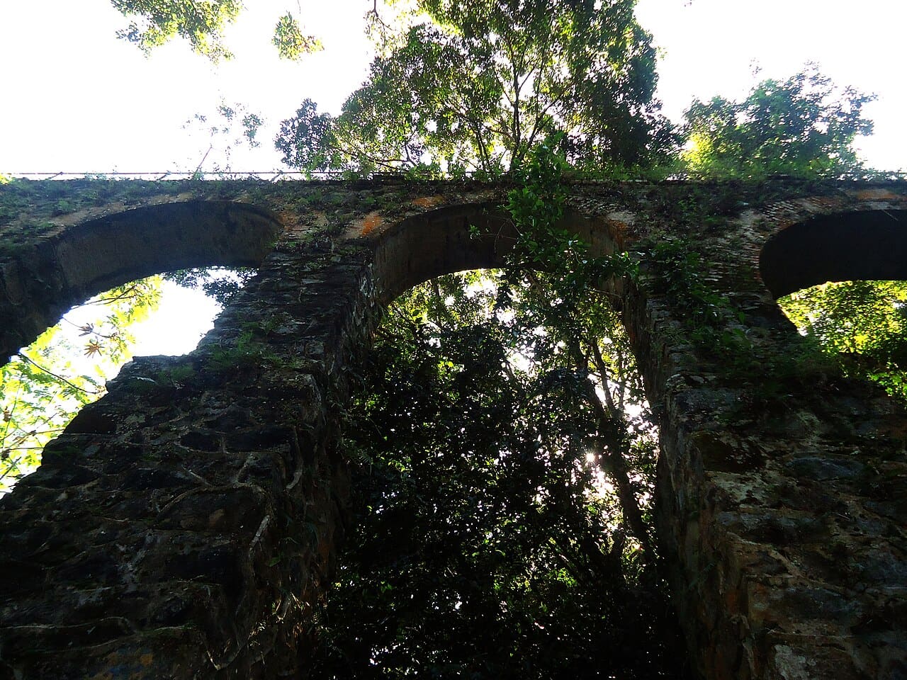 The 1893 aqueduct, at the end of the T1 circuit. Photo: MBelu, CC BY-SA 4.0, Wikimedia Commons
T10 and T11, the way to Lopes Mendes
The most walked pair on the island: the T10 runs from Abraão to Pouso beach past Palmas and the mangroves, and the T11 is the final stretch, the 20 minutes of hill between Pouso and Lopes Mendes. Done entirely on foot it is about 3 hours each way, with honest climbs and beautiful forest; most people shorten it by taking a boat from Abraão to Pouso and walking only the T11.
The timing is worth more than the effort: whoever arrives before 10 am finds the 2.5 km of sand nearly empty. That is exactly the design of the Albatroz expedition, our group’s schooner: it sleeps at anchor in the bay and lands at Pouso just after sunrise, so the 20 minute trail ends at a Lopes Mendes with nobody on it, hours before the excursion boats. It is the version of the trail we would recommend to a friend.
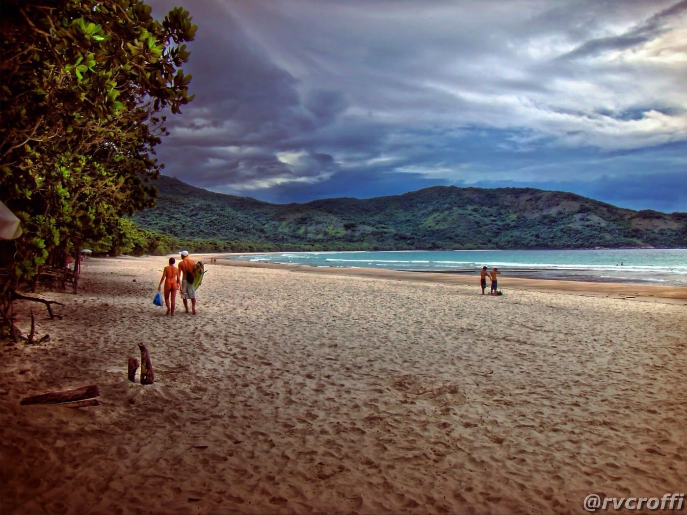 The T11’s reward: Lopes Mendes in the morning. Photo: Rafael Vianna Croffi, CC BY 2.0, Flickr
T13, Pico do Papagaio
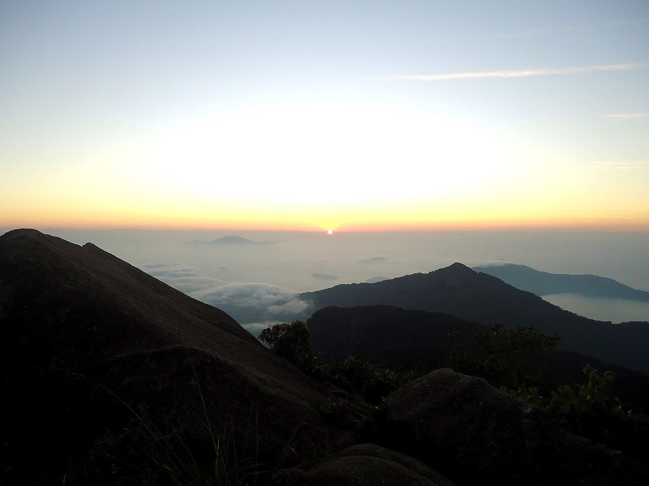
The island’s signature trail: 982 meters of near-continuous climbing to the beak-shaped rock you can see from far away. The classic ritual is nocturnal: departure between 1 and 2:30 in the morning, about 3 hours of climbing in the dark, and sunrise at the top, with the whole bay waking up below. For the night climb an accredited guide is mandatory, and it is not bureaucracy: the trail is tough, with stretches of root and rock, and in the dark the path deceives.
Real difficulty: hard. Count around 6 hours between climbing, waiting for the sun and coming down, and your legs feel it for two days. If pre-dawn starts are not your thing you can climb by day, when the guide is not required, knowing that the sunrise view is another league. Carry 2 liters of water per person, a headlamp, a jacket (it is windy at the top even in summer) and never attempt it in rain.
T14, the crossing to Dois Rios
From Abraão to the village of Dois Rios it is about 7 km along the old prison road, roughly 2 hours each way, climbing the ridge and descending the other side. The reward is double: a wide open-sea beach between two rivers and the ruins of the Cândido Mendes prison (1903-1994), with the Museu do Cárcere kept by the university that manages the village. It is a long walk but on good footing, the easiest of the crossings. Leave early because of the heat and confirm the museum’s opening hours beforehand.
T15, the detour to Caxadaço
Almost at the end of the T14 the T15 opens up: 4 km to Caxadaço, a pocket beach guarded by giant boulders that form a transparent natural pool, with good snorkeling in the right corner. The final descent is steep and slippery, the only technical stretch. It pairs well with Dois Rios on the same day if you have the legs; in the ranking of the most beautiful beaches on the island we explain why the detour is worth it.
T16, Parnaioca
From Dois Rios you can continue to Parnaioca, a deserted beach on the south coast with a freshwater river and the few houses of what was once a caiçara village. It is a wild, long trail that the forest regularly swallows: only for experienced hikers, with the whole day ahead, an offline map and company. The feeling of arriving at a big beach and finding no one repays every hour.
T9 and the west coast, the wild side
The sequence of trails on the west coast (Araçatiba, Provetá, Aventureiro) is the least walked piece of the island. The most used is the T9, which links the village of Provetá to Aventureiro beach, inside the reserve where visitation is capped. These are community trails, beautiful and barely signposted: ask around in the village you start from and do not count on phone signal.
An honest effort table
| Trail | Route | Time (each way) | Level |
|---|---|---|---|
| T1 | Abraão circuit | 1h to 2h in total | Easy |
| T10 + T11 | Abraão, Pouso, Lopes Mendes | ~3h | Moderate |
| T11 | Pouso, Lopes Mendes | 20 min | Easy |
| T13 | Abraão, Pico do Papagaio | ~3h up | Hard |
| T14 | Abraão, Dois Rios | ~2h | Moderate |
| T15 | Dois Rios, Caxadaço | ~1h30 | Moderate, technical descent |
| T16 | Dois Rios, Parnaioca | half a day | Hard, wild |
Safety: the paragraph nobody reads and everyone should
The rules from people who know rescue work on the island: water at the rate of 1 liter per person for every 2 hours of walking, and double it in summer. Early starts, always, because the forest goes dark an hour before the clock does. Long trails in the rain, never, no exceptions and no negotiation: wet rock and root take down trained hikers, and the streams rise fast. Phone signal disappears in the island’s interior; tell your guesthouse where you are going and download the offline map. And respect the park sign when it says a trail is closed, because it usually knows something you do not.
On season: winter, May to August, is trail season, with dry ground, clean air and fewer people; summer calls for departures at first light and acceptance of afternoon downpours. The month by month calendar is in the best time to visit Ilha Grande.
Fitting the trails into your trip
With two days on the island, do the T1 on arrival day and Lopes Mendes the next. With four, the pre-dawn Papagaio and the Dois Rios crossing come in. With a week, the entire south coast and Aventureiro join the game; the full math is in the article on how many days to stay in Ilha Grande. And anyone sketching a bigger trip along this coastline will find these trails’ sisters, from Bonete to Bocaina, in the guide to the best hikes on the Costa Verde.
What stays with you from a trail on Ilha Grande is not the distance: it is the sequence of worlds. You leave a village of sand streets, cross a forest that closes over the sky, and the path always ends in sea. Pick your first one by your fitness, pack the big bottle and start: the T1 is ten minutes from the church square, and the rest of the island comes after it.